
Finding Strongsville Street Records by Address
Start with a full address, not a person’s name. The county’s MyPlace application can connect a Strongsville address to a Parcel ID and a map link. That creates a stable starting point for a street-by-street review. It does not prove occupancy or settle a title question by itself. Use the selected parcel to identify the legal description and transfer leads, then compare the actual recorded instrument before treating a name as part of a deed chain.
- Enter the location in MyPlace using its City and address search choices. Save the Parcel ID, the search date, and the address returned by the county application.
- Open the parcel’s map link for land context. Review each nearby parcel separately rather than treating a map view as a list of people connected to the block.
- Use the Parcel ID, a recent transfer lead, or a name from a recorded document in the county recorder index. Read the matching document image and compare its legal description.
- For a current registration question, use the Ohio lookup with a full name, Cuyahoga County, and the street-narrowing step. A registration result is a civic record, not proof of every occupant.
- For an earlier address lead, consult the appropriate library directory title and confirm it with a dated property, tax, deed, or census source.
That order keeps a Strongsville street search tied to address-keyed records. It also prevents a familiar name or a nearby parcel from being treated as a match without document support.
Strongsville Street Directory Fields in MyPlace
MyPlace is the main public entry for a current Strongsville parcel. Its landing screen exposes a City control, a Search By selector, and a text field. The published choices are owner, parcel, and address. Results can be opened through a Parcel ID, mapped, or downloaded as an address CSV. The county describes the application as a compilation, so an underlying custodian record controls if the display conflicts with a document.
| MyPlace control | Verified choice | Practical use for a Strongsville street search |
|---|---|---|
| City | City selector | Set the municipal context before looking for an address or parcel. |
| Search By | Owner, parcel, or address | Use address for a street start, then retain the parcel identifier. |
| Result link | Parcel ID | Open the selected county record and its published tabs. |
| Map route | Map link | View parcel geography as context, then confirm each parcel independently. |
| Address export | CSV download | Preserve the retrieval date and avoid treating a download as a deed record. |
Once a result is selected, the county lists General Information, Transfers, Values, Land, Building Information and Sketch, Other Improvements, Permits, Property Summary Report, Taxes by Year, Legal Recordings, and informal-review activity. Those are useful lanes for a Strongsville street directory search. The research did not inspect a person-specific parcel, so the page does not assume unverified owner or mailing-field labels.
Note: Keep a capture date with every MyPlace result because the county application is updated and remains a compiled display.
Strongsville Street Map Context
The Cuyahoga GIS viewer supplies parcel-map context after a subject parcel is identified. It is useful for checking whether lot lines and parcel shapes align with a street address, subdivision reference, or map clue. The public research did not verify a neighbor, radius, or buffer tool on the unselected screen. Do not infer that one exists or use a map boundary as proof of a relationship between households.
The Cuyahoga GIS viewer shows the parcel-map entry point used for Strongsville street directory context.

Use the map to frame the next document search, then return to MyPlace or a recorder image for the fact being tested.
Strongsville Street Deed Documents
The Cuyahoga Recorder’s Official Records Search is the instrument route for a parcel identified through a Strongsville street directory search. Its index spans 1810 to the present and accepts a grantor, grantee, subdivision, document type, document number, or the county’s dashed parcel syntax. A recorded-date range and preset date ranges narrow the work. Choose Index Only for discrete indexed terms and Index & Full Text (OCR) for an exact phrase from document text.
Open the document image before making an ownership statement. Compare the lot or subdivision, legal description, parcel reference, grantor, grantee, recording date, and any prior-instrument citation. Then search the cited prior transaction one link at a time. A transfer in MyPlace is a lead; the recorded image is the evidence for a recorded instrument. Ordinary copies are listed at $2 per page, and certification adds $2. Check the Recorder’s current fee page before ordering because charges can change.
- Parcel
- A county identifier for a piece of land. It joins a MyPlace result to map and tax context, but it is not a person identifier.
- Situs address
- The physical location used to identify the property. It can differ from a mailing address and can change over time.
- Plat
- A recorded map that lays out lots, streets, or dedications. Read it with the deed’s legal description rather than by name alone.
Strongsville Street Permit Records
City permits are a separate, dated record lane. The Strongsville Building Department directs readers to online submission and existing-permit search. The public results schema visibly includes permit number, date, permit type, parcel address, parcel number, project type, business name, and status. Continued detail requires an access code, so a visible result should be treated as a route to a defined file, not as a complete file review.
The Strongsville Building Department provides the municipal starting point for a street-address permit question.
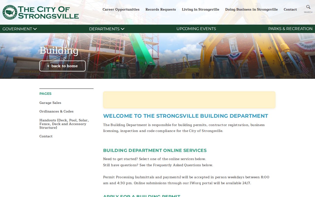
A building record may document work at an address. It does not establish title, occupancy, or every person associated with a property.
For a deeper review, use Strongsville JustFOIA or contact Building with the address, parcel number, a known permit number, a narrow date range, and the exact material sought. Ask separately for an application, plan review, issued permit, inspection result, certificate or final disposition, notice, or appeal. Under Ohio’s Public Records Act, a custodian may ask for clarification of an overbroad request, must allow revision, and must explain redactions.
Strongsville Street Directory Permit Search
The city’s existing-permit search is useful when a permit number or parcel address is already known. The screen shows why a focused query is better than broad probing: its visible fields can distinguish a permit date, type, parcel number, project type, business name, and status. The research did not verify every search choice after the access-code gate, so no unobserved filter is claimed here.
The Strongsville permit search displays the public entry point for an address-linked municipal record.
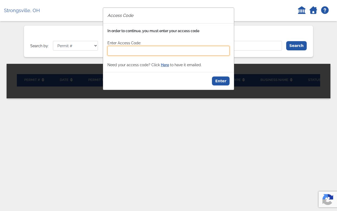
Save the visible permit identifier and use it to request the particular record rather than assuming that an unfinished screen has no further material.
Strongsville Street Names Need Dates
A literal street search can miss older material when a road name changed. Strongsville’s municipal Table G records Depot Road becoming Westwood Drive in 1944, Old Royalton Road becoming Cheerful Lane in 1958, and Foltz Industrial Parkway becoming Foltz Parkway in 2005. These entries are crosswalk leads, not a command to substitute one label for another automatically. An ordinance may apply to only part of a route.
Record both spellings, the ordinance year, the printed house number, legal description, and the dated map or document that uses each form. Older items may also use Strongsville Township or Village of Strongsville because the locality’s government label changed over time. A historical name mismatch deserves a document check before it is treated as a different place.
Strongsville Street History at County Archives
For a Strongsville street that predates the current parcel layout, Cuyahoga County Archives offers a specific offline route. Its property-research material covers deeds from about 1810 forward, maps and atlases from about 1860 to 1945, tax duplicates from 1819 to 1986, and appraisal cards from about 1935 to 1970. Book a property-research appointment at 3951 Perkins and bring the current address, parcel, street-name variants, subdivision or lot, a document reference if known, and a date range.
The County Archives property research guide describes the map, tax, appraisal, and deed trail for an older Strongsville street.
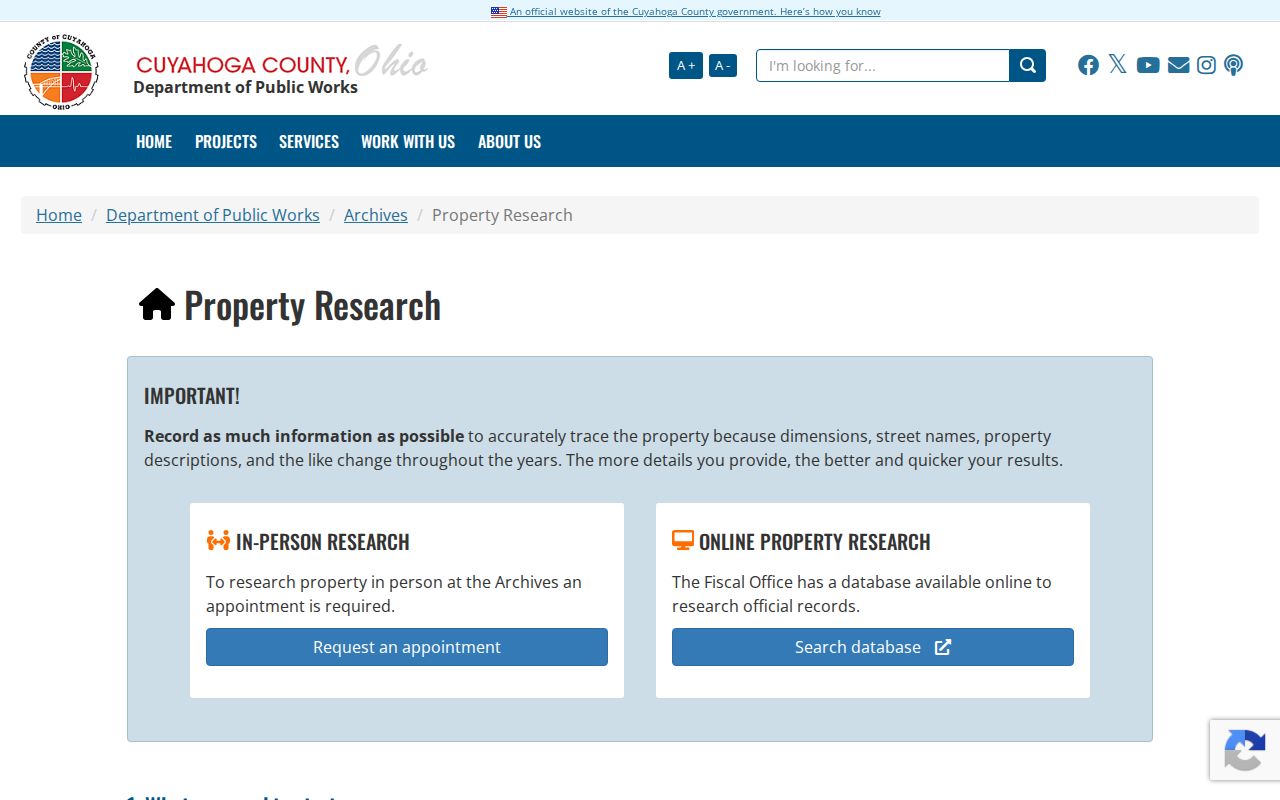
An atlas or tax duplicate can test an old address hypothesis, but it should remain tied to its volume, page, map date, and legal-description context.
The accessible Cleveland Public Library guide confirms that a 1954 directory included Strongsville, while broader suburban coverage is title-specific. For a past household lead, consult that exact microfilm title through the library and pair any entry with a recorder, tax, census, or archive date. The historical shelf is described more fully in the Strongsville Directory Book.
Strongsville Street Directory Record Coverage
Address-keyed records do not all describe the same thing. A Strongsville street directory search is more accurate when the resulting note names the record keeper, retrieval date, and limitation. The table separates the county’s current parcel display from recorded documents, local permit material, voter verification, and older property sources.
| Address record | Strongsville keeper or route | What it can contribute | Access path |
|---|---|---|---|
| Parcel and tax display | Cuyahoga Fiscal Officer, MyPlace | Parcel ID, transfer leads, tax context, and listed tabs | Online search by city, owner, parcel, or address |
| Parcel map | Cuyahoga GIS | Parcel geography and map context | Map link or parcel selection |
| Recorded instrument | Cuyahoga Recorder | Legal description, grantor, grantee, and recording trail | Online index, image, or identified office copy |
| Municipal permit | Strongsville Building and JustFOIA | Dated permit and project evidence | Public screen, access code, or narrow request |
| Registration check | Ohio Voter Lookup | Current registration, precinct, and polling-place information | Name, county, then street narrowing |
| Historic property sources | Cuyahoga County Archives | Maps, tax duplicates, and appraisal-era leads | Appointment, reference request, or in-person research |
Neither the map nor the parcel display creates a household roster. Each parcel must be checked independently, and a legal description or document image controls when a claim turns on the land itself.
Strongsville Street Voter Verification
Ohio’s Voter Lookup does not accept a ZIP search. It requires a first name, last name, and county, then uses street selection to narrow a candidate. In Strongsville, choose Cuyahoga County even where a mailing line says Strongsville. The return is a current civic record that can show registration, precinct, and polling-place information. Record the retrieval date because registration data can change.
For a dated public-data question, the state voter-data portal offers daily snapshots with county and limited date choices, while longer requests use its contact form. Inspect the actual file documentation before assigning columns to a snapshot. Protected voter information, confidential voters, and Safe at Home participants are boundaries to respect, not missing details to reconstruct.
Note: A street selection narrows an Ohio voter query, but it does not make a ZIP code or nearby parcel a valid substitute for county and name.
Strongsville Street Directory Limits
Street and address records can be useful for family history, estate research, property curiosity, civic transparency, or checking a suspicious filing. They cannot safely answer every question about a household. A parcel application is compiled data, a permit is not title evidence, a recorded deed does not prove current occupancy, and motor-vehicle information is protected under the Driver’s Privacy Protection Act. A no-result can reflect a spelling difference, a restricted record, an older source, or the wrong custodian.
Ohio’s Public Records Act requires access to nonexempt records and permits redaction of exempt material. If a custodian redacts a requested record, ask for the cited exemption and the segregable remainder. Preserve source dates and any uncertainty rather than turning an index lead into a statement about a person.