
Strongsville Neighbors by Block Record
Public sources around a Strongsville address do not create a verified neighbor roster. They provide a chain of location-specific records. The Cuyahoga parcel application can identify the subject parcel and link to its map. The map can then support review of immediately adjacent parcel cards for a legitimate mapping purpose. Recorder instruments can test a parcel-specific ownership lead, while the state voter tool is a current, person-specific check with required fields. Association pages add community context but do not establish who lives on a block.
| Source | What It Shows About a Block | Access |
|---|---|---|
| MyPlace and Cuyahoga GIS | Subject parcel, map context, and adjacent parcel geometry | City, owner, parcel, or address search, then map selection |
| Recorder instrument | A parcel-specific ownership or legal-description lead | Indexed search followed by the recorded document image |
| Ohio Voter Lookup | Current registration, precinct, and polling place for one qualified lookup | First name, last name, county, then street if needed |
| County Archives | Historic elector material and property-era context | Holdings inquiry or research appointment |
| Association pages | Published neighborhood terminology, broad context, and public contacts | Organization-level public information only |
A parcel record can identify an ownership lead, but it cannot prove who occupies a property, who benefits from a title arrangement, or whether people with the same surname are family. Treat each Strongsville parcel card as its own record. The map establishes nearby geography, not a reason to combine unrelated information.
Strongsville Parcel Before Neighbor Research
Begin at MyPlace with the subject address, owner, parcel number, or city search. Its landing screen offers City and Search By controls, and its result links a Parcel ID to a map. A selected property can expose tabs for general information, transfers, values, land, building information, permits, taxes by year, legal recordings, and review activity. The county describes MyPlace as a compilation, so the controlling record for a deed or other item remains with the office that keeps it.
From the selected parcel, use the View Map link or the Cuyahoga GIS viewer to inspect parcel geometry. Record the date, subject parcel ID, and map view. Open only immediately adjacent parcel cards when the purpose is to understand the immediate Strongsville block. No verified public neighbors, radius, or buffer control was found, so a map selection should not be described as a comprehensive nearby-property search.
Note: A saved parcel ID and map date make a future Strongsville map check reproducible when boundaries or layers change.
Map a Strongsville Block by Parcel
The careful block method goes outward from one verified address. It preserves the difference between map proximity, parcel ownership, and a person's current connection to a place. A result on an adjacent parcel is still only a lead until the parcel's own legal description and document record have been checked. This keeps the Strongsville neighbor process focused on geographic context instead of guessing about households.
- Locate the exact Strongsville subject address in MyPlace and note the Parcel ID, search date, and any visible map link.
- Open the selected parcel in the county map and view its boundary before reviewing a directly adjacent parcel card.
- For each adjacent card that is relevant, record its parcel identifier and use its own record to distinguish a map lead from a documented ownership fact.
- When a deed question arises, search Recorder Official Records Search by the parcel, document reference, or a carefully matched name and date.
- Read the instrument image for legal description, grantor, grantee, and recording information before stating an ownership conclusion.
The broader street-by-street chain belongs in the Strongsville street directory workflow. It adds recorder, archive, permit, and historic street-name steps without turning a small block map into a street-wide roster.
Strongsville Neighbor Ownership Limits
A recorded deed can identify a grantor, grantee, legal description, recording date, and prior reference. It does not establish occupancy, beneficial ownership, family relationships, or a current home address. MyPlace transfers can help find the right document, but the County says the application is a compilation. Use the Recorder's official search and the document image to verify a title-related question.
Entity names deserve the same restraint. Ohio Secretary of State filings may identify a statutory agent and entity details, but an agent address is a service address, not proof of who controls a parcel or lives nearby. A subdivision name may appear on a plat, deed, map, association page, or city table. Compare the specific legal description before treating those labels as the same place.
Strongsville's historic street changes reinforce the point. Depot Road became Westwood Drive in 1944, and Old Royalton Road became Cheerful Lane in 1958. Preserve both forms in a research note. A later map label should not overwrite the street wording in an earlier deed, archive, or elector record.
Strongsville Neighbors and Voter Records
The Ohio Voter Lookup is not a Strongsville neighbor list. It requires a first name, last name, and Cuyahoga County, then asks for a street selection when needed to narrow a specific current lookup. The result is limited to current registration, precinct, and polling-place information. It has no ZIP filter, and a street selection is not a block or household search.
Ohio's public voter-data portal is different again. It describes daily 4 p.m. snapshots, one county and date in ordinary self-service, a seven-day custom range, and archive retention of at least 22 months after an election. The current file columns were not verified in the research, so no column inventory should be assumed. A dated file is not a substitute for a current lookup, and confidential data must be excluded.
The Ohio confidential-voter provisions set the privacy boundary for voter records.
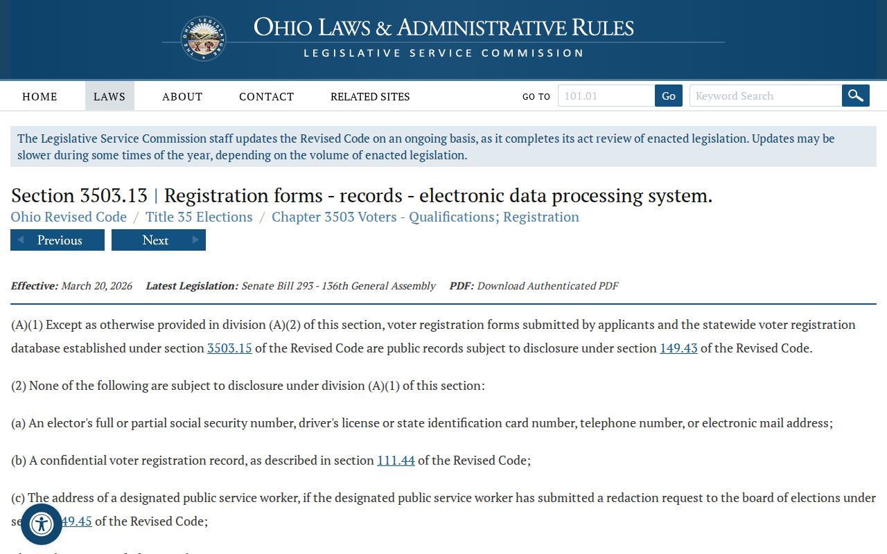
For Strongsville neighbors, protected voter information, identifiers, and confidential-voter status must remain protected even when another nearby record is available.
Strongsville Neighbor Association Context
Neighborhood organizations can help identify the public vocabulary used for part of Strongsville. They are not household directories or official boundary authorities. The best use is limited: compare a published neighborhood name or broad location statement with a parcel, plat, or deed subdivision, then use the organization's public contact channel for organization matters. Do not collect member areas, private notices, access-controlled directories, or personal contacts.
| Organization | Published Context | Responsible Use |
|---|---|---|
| Pine Lakes | States broad bounds near Webster Road, West 130th Street, and Albion Road, with approximately 580 homes. | Neighborhood terminology and public organization context. |
| Meadow Trail | Public association presence. | Organization-level public contact or context only. |
| Westwood Farms | Public association presence. | Organization-level public contact or context only. |
| Strongsville Chamber | Voluntary organization directory. | Business organization context, not a local census. |
Association terminology can be a useful map clue. It becomes stronger only when an independent property record supports the same subdivision or location wording. Strongsville has no verified official umbrella directory of every association, so these examples are illustrative rather than a complete neighborhood list.
Strongsville Blocks in Historic Records
For a historic block question, Cuyahoga County Archives offers a different path from current parcel tools. Its holdings include election abstracts from 1893 to 1974, Lists of Electors from 1893 to 1982, and a naturalized-voters index from roughly 1865 to 1975. These records can support a dated spelling, address, or civic-history lead, but coverage and indexing vary. Give Archives a surname variant, date range, and volume or page reference when one is known.
County property research can also bridge the block over time through maps from about 1860 to 1945, tax records from 1819 to 1986, and appraisal cards from about 1935 to 1970. Bring a current parcel number as well as historic street variants, subdivision, lot, and date range. A historic address match should be tested with the map or legal description, not presumed from a familiar road name.
Strongsville Neighbor Privacy Rules
Public records law does not erase confidentiality. Safe at Home gives participants a substitute mailing address and permits confidential-voter treatment. Do not try to identify a protected person by combining a parcel, postal, court, or directory return. A withheld or redacted record is the end of that line of research.
The Safe at Home explanation describes the address-confidentiality boundary that applies to responsible Strongsville neighbor research.
The program is a hard stop, not a puzzle to solve with cross-references or public map tools.
ORC 149.45 also requires removal of certain personal information from internet records and permits qualifying people to request removal. Do not reproduce personal identifiers, telephone numbers, email addresses, financial details, restricted court material, or confidential voter information. If an online display appears incorrect, contact the record custodian about that specific record.
The online-record privacy rule is shown on the Ohio law source.
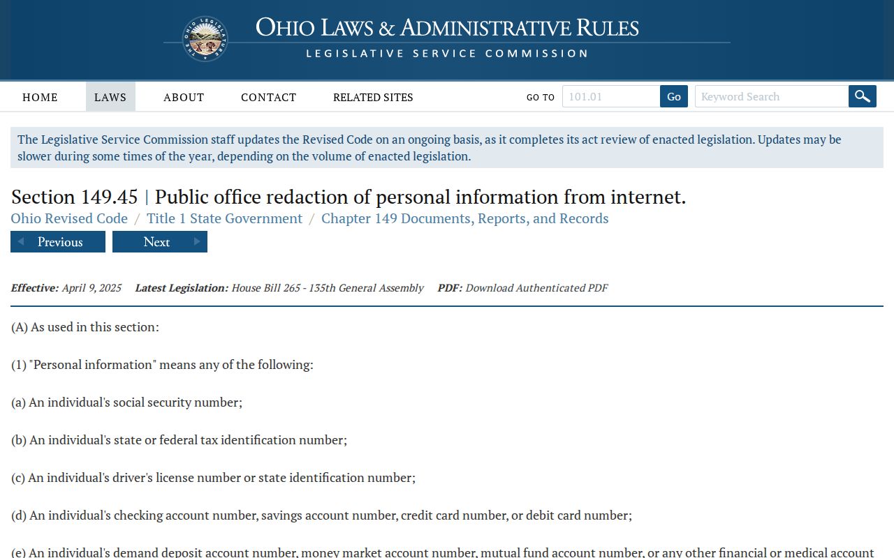
Strongsville block research should retain only the source details needed to document a lawful property or history question.
Lawful use. Use Strongsville neighbor records for lawful property curiosity, family history, civic context, or a defined official-record question. Do not use them to watch, stalk, harass, intimidate, or pressure any person.
Strongsville Neighbor Records Requests
When an existing record is not online, direct the request to the custodian and identify the exact record. The Cuyahoga Board of Elections public-records policy describes local inspection, redaction, and request handling. Ask for an existing public registration record or a dated historic record, not a newly created block report. The Board need not create a new report, and any response remains subject to statutory redactions.
The Board policy provides the local access route for a narrowly described Cuyahoga elections record.
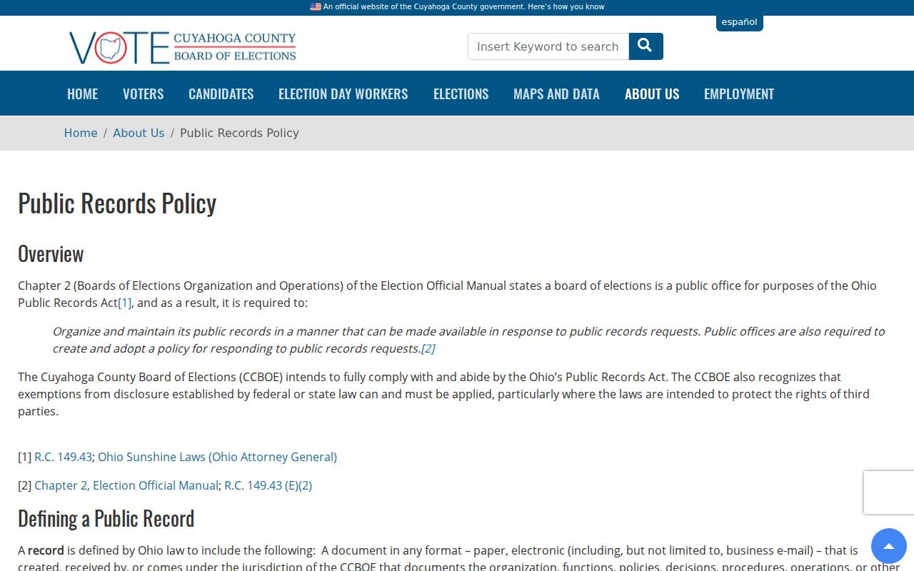
A retrieval date, county selection, full name, record type, and stated limitation make an elections request easier to review later.
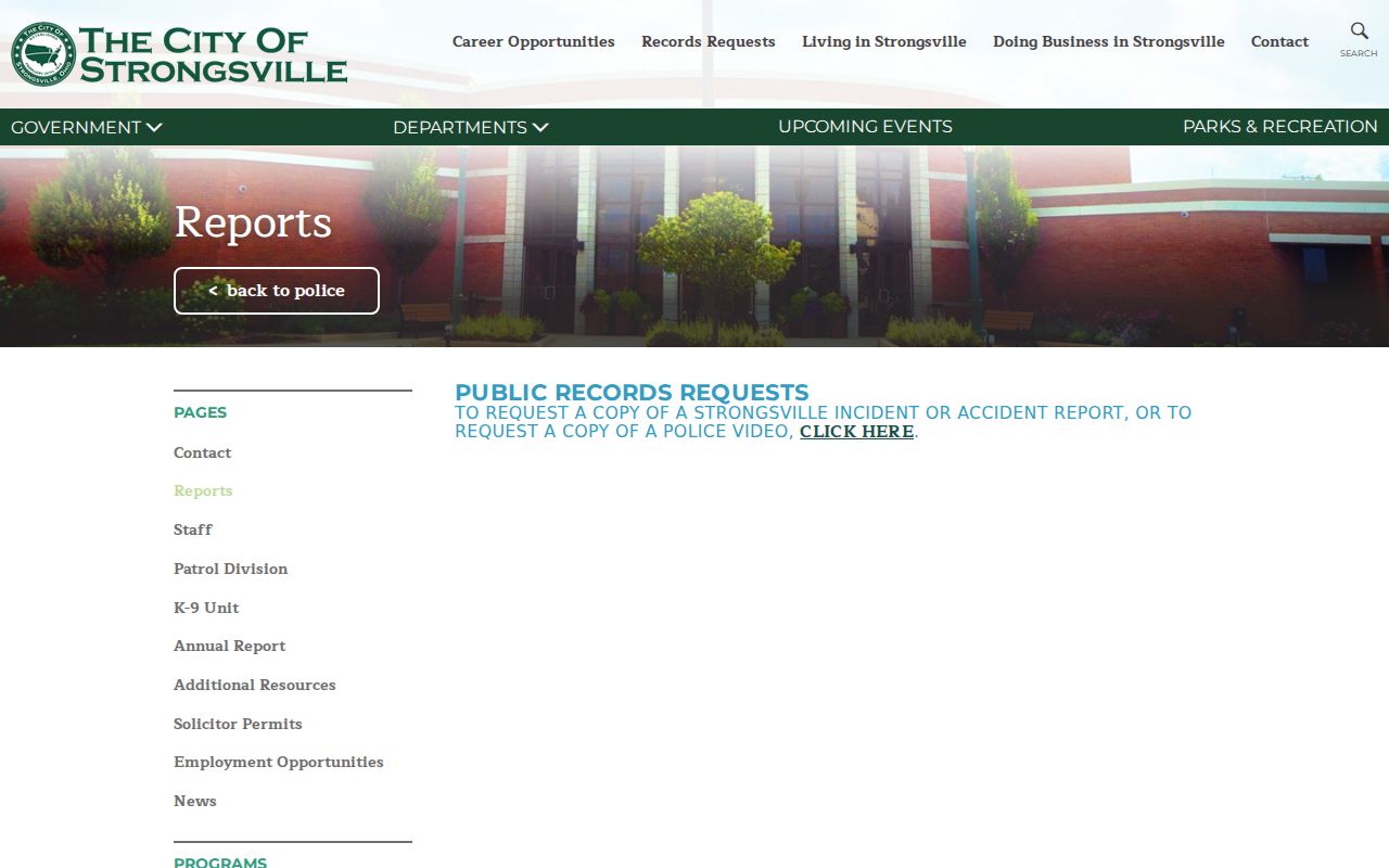
Police reports follow another route. The Strongsville Police reports page directs public report and video requests through the City process. Give the exact incident date, report number if known, and record requested. A police-record request is not a substitute for parcel research or a neighbor search.
The City's published police-report route is the source for a defined Strongsville incident-record request.
Using the correct custodian keeps a Strongsville record request limited to the actual document and its lawful redactions.