
Strongsville ZIP Codes for Mail
Research verified two postal designations associated with Strongsville: 44136 and 44149. The USPS ZIP Code Lookup is the final authority for a complete address because it returns USPS-standardized city, state, and ZIP formatting. The record does not establish a street-level boundary for either designation. It also does not identify municipal limits, land ownership, or a resident at the address.
| ZIP | Verified Strongsville use | Postal check route | Recorded limitation |
|---|---|---|---|
| 44136 | Associated with Strongsville in USPS labeling material; also used by the Strongsville Library and Mayor’s Court | Run the full address through USPS | No verified street-by-street boundary, post-office inventory, or PO-box classification |
| 44149 | Associated with Strongsville in USPS labeling material; also used by the City Building Department | Run the full address through USPS | No verified street-by-street boundary, post-office inventory, or realignment date |
The table records verified postal use, not neighborhoods allocated to a ZIP. City offices can use different Strongsville mailing designations while still serving the same municipality. That is why the Strongsville ZIP code directory begins with a complete-address check instead of an assumed postal boundary.
Strongsville ZIP Code Verification First
A ZIP result is most useful at the beginning and end of a narrow address check. Postal format answers how mail should be addressed. The county and city systems answer different questions about land and municipal context. Keeping those stages separate avoids turning a postal label into a parcel conclusion.
- Enter the complete mailing address in USPS and retain the standardized city, state, and ZIP returned.
- Search the address, city, or parcel in MyPlace to locate the county parcel record. MyPlace does not offer a verified ZIP filter.
- Use the City of Strongsville or the Cuyahoga GIS viewer to check municipal and parcel-map context.
- Read the legal description in the Recorder’s document image when title or lot identity matters. A mailing designation cannot replace that evidence.
Once a ZIP check narrows an address to a street, the address-by-address methods belong in the Strongsville Street Directory. Postal information remains one part of that trail, not the linking key for every local record.
Strongsville ZIP Lookup Fields
No verified Strongsville property, recorder, voter, or permit screen uses ZIP as a public search field. USPS instead resolves a complete address into standardized postal formatting. Ohio’s Department of Rehabilitation and Correction has a ZIP field, but it is a narrow state custody or supervision tool, not a property or resident source. Its listed location can be stale, so it cannot verify a current Strongsville address.
| System | Verified field or information | What it is for | What it cannot establish |
|---|---|---|---|
| USPS ZIP Code Lookup | Complete address to city, state, and ZIP formatting | Final postal-address confirmation | City limits, parcel identity, street allocation, or residence |
| Ohio DRC Offender Search | ZIP, name, county, status, hearing month, offender number, and sort choices | Specified custody or supervision status searches | Property records, current residence, or a Strongsville household list |
The Ohio DRC Offender Search illustrates a ZIP-capable state search whose scope is intentionally limited.
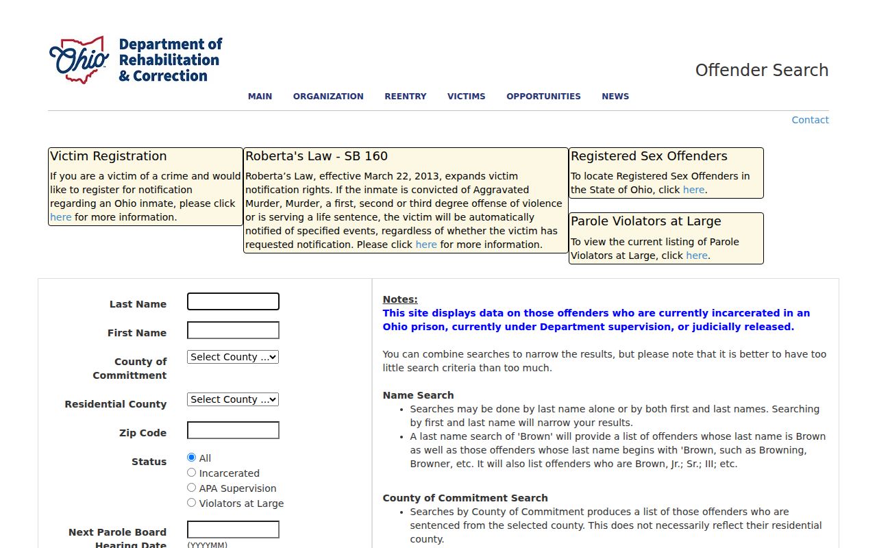
A ZIP field in this state system must not be recast as a local parcel, voter, or resident filter.
Strongsville ZIP Directory Local Searches
The local public tools use other keys. MyPlace accepts City and searches by owner, parcel, or address. It can open a Parcel ID, link to a map, and expose tabs for transfers, values, land, building information, permits, taxes by year, and legal recordings. That makes it the proper next step after USPS confirms mail format, but not a ZIP-wide list.
The Recorder’s Official Records Search supports grantor, grantee, subdivision, document type, document number, recorded dates, and index or OCR modes. It has no verified ZIP option. Likewise, the Ohio Voter Lookup requires first name, last name, and county before a street-narrowing step. The Strongsville permit screen visibly returns a parcel address and parcel number, but the research did not establish a ZIP query field. Do not try to substitute a postal label for those systems’ required inputs.
A focused records request is the fallback when the public screen cannot retrieve an identified local file. Strongsville’s JustFOIA portal is suited to a narrow request containing an address or parcel, date window, and exact record type. Under ORC 149.43, a custodian can seek clarification of an overly broad request, must offer a chance to revise it, and must explain redactions.
Strongsville ZIP Code Records Route
After USPS confirms the mailing format, follow the parcel rather than trying to search records by ZIP. MyPlace supplies the address-to-parcel bridge. Its Transfers and Legal Recordings tabs can provide leads, but the county warns that the application is a compilation. When a title question matters, use the Recorder’s Official Records Search to find the matching deed or other instrument and read the image.
The Recorder search supports a term, recorded-date start and end dates, preset ranges, and a choice between Index Only and Index & Full Text OCR. It directs researchers to use a grantor, grantee, subdivision, document type, document number, or dashed parcel form. Match the legal description, lot, subdivision, and prior-reference citation before treating a recorded hit as tied to the postal address. A document date and a recording date can differ, so both belong in the note.
For an older Strongsville address, Cuyahoga County Archives adds maps and atlases from about 1860 to 1945, tax duplicates from 1819 to 1986, and appraisal cards from about 1935 to 1970. Those sources can test an earlier street label or parcel description. They do not turn a ZIP designation into an historical boundary.
Strongsville ZIP Codes and City Limits
Postal labels are not legal boundaries. A Strongsville ZIP line does not prove an address lies within the City, and an address inside the City still needs USPS confirmation before mail is sent. Establish place through the parcel, City or GIS context, and the Recorder’s legal description. This is especially important where a place name appears on old maps, directories, or records created under a different municipal label.
Strongsville’s historical identity also changes the label a researcher may see. Older material can say Strongsville Township or Village of Strongsville, while the current city designation belongs to later records. The postal label cannot resolve that difference. Use the record’s date and issuing body, then compare the address or legal description to the current parcel only when the evidence supports the connection.
- ZIP
- A USPS delivery designation tied to an address format, not a municipal boundary line.
- ZIP+4
- An added delivery detail used by USPS after the basic ZIP. It does not create a property record.
- PO-box ZIP
- A postal designation used for box service. Research did not establish whether either verified Strongsville ZIP has that classification.
- Carrier route
- A postal delivery grouping. It is not a parcel map or a roster of people associated with a street.
Strongsville ZIP Code Street Names
Historic street names are a separate normalization problem from a ZIP code. Strongsville’s Table G records Depot Road changing to Westwood Drive in 1944, Old Royalton Road changing to Cheerful Lane in 1958, and Foltz Industrial Parkway changing to Foltz Parkway in 2005. Keep both the earlier and current forms in a research log with the ordinance year. Do not automatically treat a renamed road as equivalent along every part of its route.
When an older directory, tax duplicate, map, or deed uses a former street name, compare its lot, subdivision, legal description, and date against the modern parcel. USPS is still the final mail-format check for the current address, but it does not resolve the historical street-name question.
Strongsville ZIP Directory Civic Addresses
The city’s own public addresses illustrate why postal use should not be overread. Research found 44136 on Strongsville Library and Mayor’s Court addresses, while the Building Department uses 44149. Those examples show that both postal designations are used in the community. They do not show a municipal split, a ZIP border, or an allocation of every nearby street.
The City of Strongsville overview provides municipal context that must remain separate from postal routing.
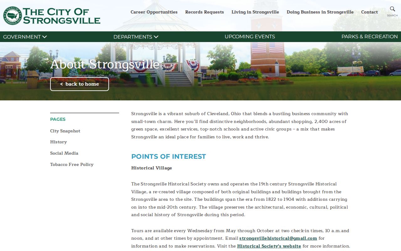
Use a city source to understand civic institutions and a postal source to format mail, then consult county land records for parcel-specific questions.
Strongsville ZIP Code Directory Place Context
Public association pages can offer place vocabulary, but they are not government boundary maps or household directories. The Pine Lakes association describes a location in relation to Webster Road, West 130th Street, and Albion Road, and reports approximately 580 homes. That is useful context for a map or address note. It does not identify who lives there, prove a parcel is in the association, or supply a ZIP allocation for those roads.
The Pine Lakes association page is a public organization source for local geographic context.
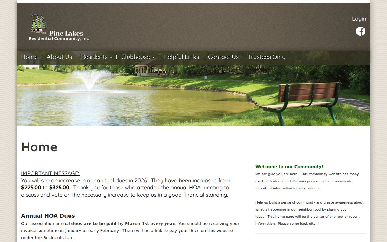
Use an association’s published wording only as organization context, then test any land or mailing question through USPS, MyPlace, GIS, and recorded documents.
Note: A public neighborhood page can describe its own setting, but it is not a complete roster or an official city-boundary source.
Strongsville ZIP Code Directory Limits
The Strongsville ZIP code directory does not establish current residency, ownership, a complete post-office inventory, PO-box status, realignment dates, or street-level delivery boundaries. USPS research did not verify those details for 44136 or 44149, so they should not be filled in from an assumed map. A postal result also cannot resolve differences between a MyPlace display, a Recorder document, and an older street label.
Use ZIP information for a precise delivery question, then preserve the source date and move to the named custodian for a property or historical-record question. Do not use public records to pursue confidential addresses or repeatedly monitor another person. Ohio confidentiality rules, including Safe at Home and protected voter information, remain in force even when a mailing label is known.